GIS Data
> GIS Data

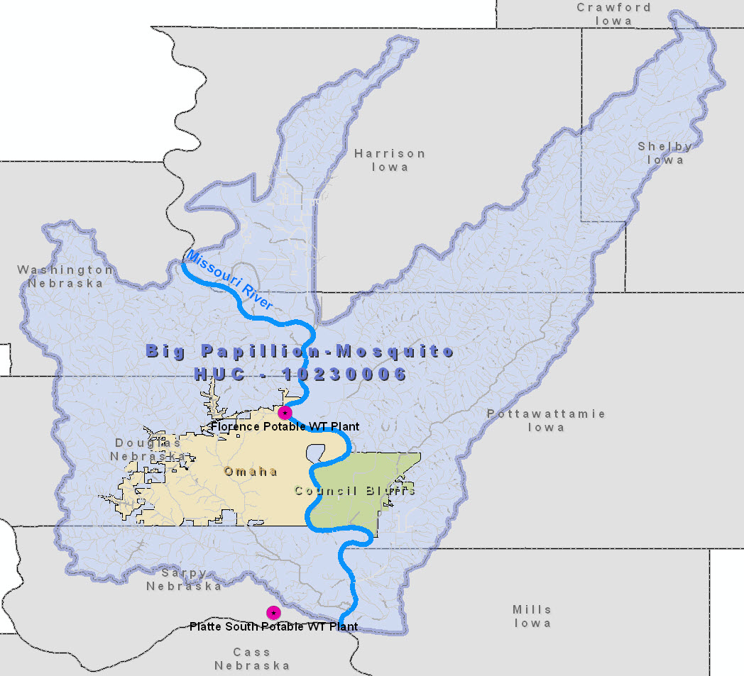
Open the zip file below to access the actual GIS files used to compile the coverages used in this project. The three GIS files should be extracted to a single directory and can be opened in ArcGIS Version 9.3 or above. The zip file also contains a .jpg file (image above) of the coverage area.