|
|
>305(b) List
(pdf
file)
>Bibliography
>Duck River
>Historic Data
Map
(Microsoft
Excel File)
(pdf file)
>Next
Click anywhere on the screen to return to this page.
(Note: All
water quality data provided within this section was compiled from STORET,
from the U.S. Environmental Protection Agency, and NAWQA,
from the U.S. Geological Survey, databases.)

General Facts
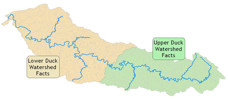
"The Duck River basin is in south-central Tennessee. The 262-mile long river crosses seven counties before joining the Tennessee River at Kentucky Lake, making it the longest river contained within the state of Tennessee. Over 30 tributaries are present in the basin, but the majority of the river's discharge is groundwater supplied through the limestone rich Karst topography in the central portion of the basin. There are four large cities located on the banks of the Duck River, Manchester in the Coffee County headwaters, Shelbyville, and Columbia, in the middle portion of the drainage and finally in the town of Centerville, in the lower end of the basin. There are also two state parks (Old Stone Fort and Henry Horton) within the basin. The Duck River is joined by the Buffalo River just before it meets the Tennessee River in Hickman County."
(Reference: Return of the Natives: Community Guide for Restoration of Fish & Aquatic Species. Southeast Watershed Forum. January 1, 2004. Last available from the World Wide Web <http://www.southeastwaterforum.org/pdf/newsletters/Return_of_Natives.pdf>.)
